Showing posts with label hiking. Show all posts

Wednesday, December 31, 2014

Passport to Adventure: Park #1 Black Moshannon SP

Santa Claus decided Chris and I needed to explore more of Pennsylvania, so he brought us the Pennsylvania Parks & Forests Passport published by the Pennsylvania Parks & Forests Foundation. 
This 135-page passport includes maps, a history of the state’s park and forest system, a brief description and most memorable feature of each state park and forest, and additional online resources. Participants can track their visits to our public lands by initialing their book or having it stamped at the park or forest office. The Pennsylvania Passport not only guides people to our state parks and forests, but it also breaks down interest areas and challenges users to complete each area to receive recognition for their accomplishments with a special metal "dog tag" for the theme. - Pennsylvania Parks & Forests Foundation website/product description
We set out yesterday to get our first stamp at our "home park" - Black Moshannon State Park - which is just over 21 miles from our house. It was a brisk 29 degrees when we arrived at Black Mo with bright sunshine and a light breeze. After a quick stop in the park office for a park map, we debated our trail options. Chris originally had the Shingle Mill Trail in mind, but it would be very shady; we opted to hike the Star Mill Trail instead since we would be able to enjoy the sunshine.

"Two roads diverged in a yellow wood..." ...or, more accurately the trail split into two paths in the parking lot!

GIANT tree along the trail.

It is rare that ANY trail at Black Mo is not snow-covered at the end of December.

Huge downed tree.

Peek-a-boo!

The Star Mill Trail crosses Beaver Road twice...AND is bicycle-friendly! Noted!

Mountain Laurel buds in the sunshine.

Scenery at the lake.


Panoramic shot of the lake.

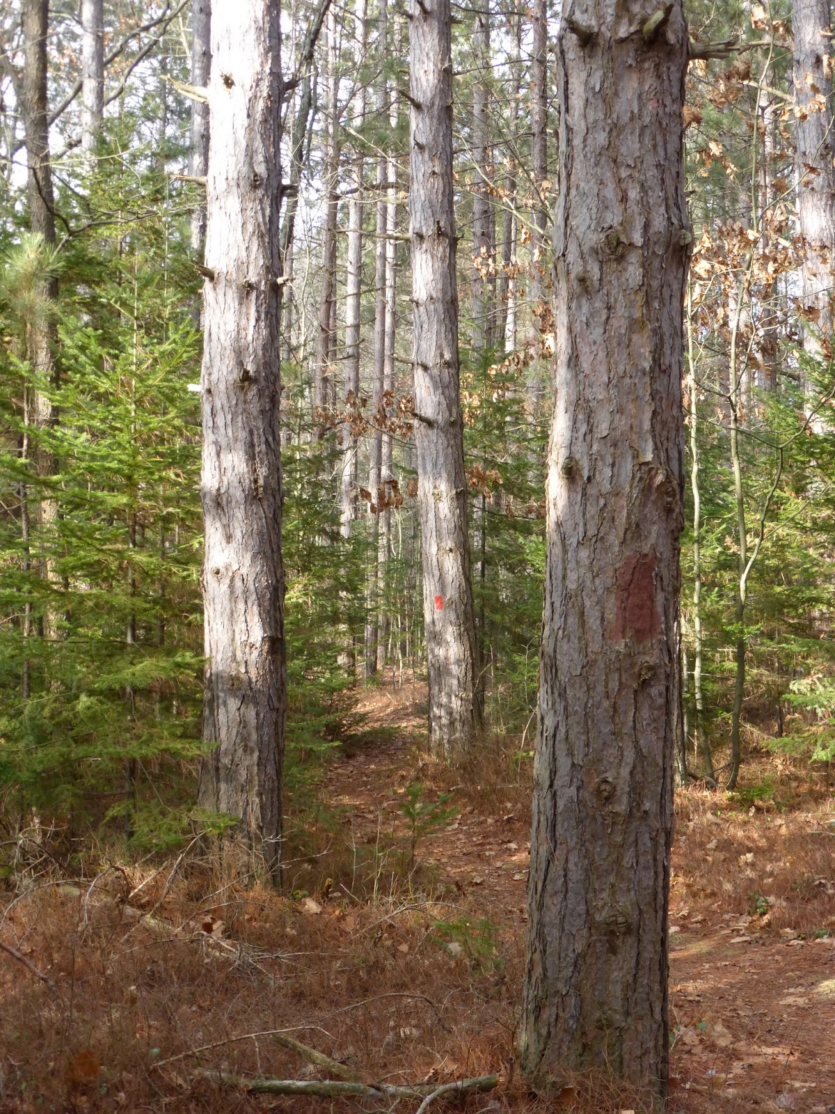
A look ahead along the trail.

Death happened here.

Deer skull.

Peeking out at the lake from the trail.

A small "island" in the lake.

Ice on the lake.


Another look ahead on the trail.

Chris dropped the map along the trail so he turned back to find it. While I was waiting for him, I heard the telltale tap-tap-tap of a woodpecker. After standing still and listening for a minute, I spotted the Hairy Woodpecker.


"Little full...lotta sap."


A beaver lodge on the lake.

The beaver's slide into the lake. We joked that we'd both FREAK if the beaver popped up at this spot while we were standing there!

Another shot of the beaver lodge.

Another panoramic shot of the lake.

Beaver damage to some small trees.

Informational sign at the end of the trail.

Aaaaaand we're official! Stamped and dated!!!

One down...MANY more to go! Thanks, Santa!!!

Sunday, April 20, 2014

Easter Weekend Adventures

With a forecast calling for temperatures in the mid-60s and sunshine all weekend, this weekend seemed like the perfect one to get out and about on foot and on two wheels. Chris and I started the weekend with a brisk Saturday morning bicycle ride at Black Moshannon State Park. Unfortunately, when we arrived at the park, which sits at 1,900 ft. in elevation, the temperature was still in the mid-40s. And someone (not me!) was only wearing a t-shirt and shorts. We set out on our ride from Boat Launch #4 down Beaver Road toward the beach. We turned left on Route 504 and then left again onto West Side Road.

Taking a break on the West Side Road fishing pier.

Chris tries to absorb as much warm from the sun as possible.

Striking a pose with my still-to-be-named Vaya 2.

Chris' road ride is on loan from his brother.

Helmets. They do good, but look bad.

We rode West Side Road to the end and turned around. When we turned back onto Beaver Road, I asked Chris (who was clearly freezing), "Are we done?" to which he replied, "I think so. I can't feel my fingers." We got back to the car having logged 4.69 chilly miles and thought, "That's better than nothing!" 

When we left for the park Saturday morning, we didn't realize that BMSP was the start/finish point for the Nittany Cycling Classic. Just as we wrapped up our ride, the men's 43-mile race started. 


We wound up behind the peloton most of the way down Beaver Road. It was fascinating to watch them climb the few changes in elevation before reaching the summit on Beaver and then heading downhill. We estimate that they were going about 40 mph on the downhill. Way cool!

We returned home, grabbed a quick bite to eat for lunch, and then headed back out on two wheels for more adventure. Except this time? Both of us were on the same bike. 

That's right...it was motorcycle time!

Ready to head out for my first ride of 2014!

The plan was to head over to Lewisburg, PA to the Lewisburg Freez for an afternoon ice cream treat. We left our house and headed north on PA 550 to Bellefonte. 

Check my reflection in Chris' helmet.

I've made this right turn to the airport quite a bit recently!

Loves me some country churches!

It's hard to tell, but I'm smiling behind that smoke visor.


Once in Bellefonte, we turned onto PA 144 south toward Pleasant Gap. In Pleasant Gap, we turned left onto PA 26 north and eventually PA 64 north. We took PA 64 north to Narrows Road to PA 880 north, which we followed to PA 477. We took PA 477 south to PA 192 east to Lewisburg. We gassed up at the Sheetz on US 15 north of Lewisburg before returning to town to hit the Lewisburg Freez.

I like when I can capture a good shot of this tobacco barn.

It's tough to tell, but this is the work of a chainsaw artist.

Heading under I-99.

Passing one of MANY fisherman!

Along the way, we were slowed by PennDOT paving (notice the asphalt strip on the right side of the road) and this "contraption" crossing in front of us. It crept like a bug; it was odd.

It was an absolutely gorgeous day for a motorcycle ride.

Most of the trees are still bare here in Central PA.

At the Freez, Chris opted for a small hot fudge sundae and I chose a kid's-sized orange sorbet.

Chris' hot fudge sundae. Yes, that's a small!


My little orange sorbet - all 180 calories.

We took a direct route back home - PA 45. I had to take the requisite picture of the round barn on the way home.


And finally today, we decided to hike Mt. Nittany and we invited my Penn State FastStart mentee Michael to join us. Hiking Mt. Nittany is a "bucket list" item for Penn State students, so Michael was able to check this one off in his first year! 

Hike Mt. Nittany - check!

The Mike Lynch Overlook is the one that everyone visits - it's the one with the view of the Penn State campus.

Chris and Michael wait patiently for our turn to take pictures at the vista.

Chris checks out the map in the meantime.

The Penn State campus as seen from Mt. Nittany.

Zoomed in on Physical Plant (the Service Garage, at least) - the brown brick building just to the right of Beaver Stadium.

With Michael.

With Chris.

Michael with the Penn State campus behind him.

We decided to do the Blue Loop trail so we could hit all of the overlooks. 

The Boalsburg Overlook.

There are several "non-trails" on top of Mt. Nittany.

Chris tried to locate this non-trail on the map.

We found a rocky spot where we could enjoy our lunches and take in the view. 

The Tussey Mountain overlook.

SCI Rockview is on the right.

Nittany Mall through the trees.

We added rocks to the pile.

The Blue Loop at Mt. Nittany is approximately 4.8 miles and it took us about three hours to do the hike, including a 20-minute break for lunch and a few stops for pictures. We had a great time hiking up Mt. Nittany. I'm glad we did it this weekend before all of the trees get their leaves and the views are obstructed.

So that's our "active Easter weekend." Biking, motorcycling, and hiking...not too shabby! I always say the best weekend is the one that makes you want to go back to work on Monday morning just so you can rest!